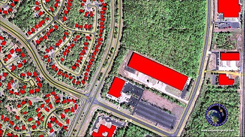
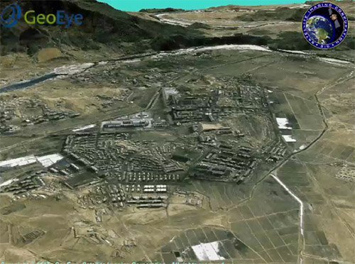
Defense and Security
Satellite Imaging Corporation (SIC) provides geospatial products and services for government agencies and defense contractors for various applications in defense and security mapping. SIC has built a reputation on the quality and precision of the work we’ve delivered. From the retrieval of satellite imaging data to the final image processing, we understand the need for impeccable accuracy and image quality for your mapping and information requirements.
Satellite imagery and GIS maps maximize security programs which can enable local governments to better assess and understand how to develop programs to save lives, protect property and enhance the future economic stability of their communities. The current threats to a country range from incidents of terrorism and information attacks on critical infrastructure, the potential use of weapons of mass destruction, and the spread of infectious diseases. Each one of these threats could cause massive casualties and disruption to a country.