Satellite Imagery and GIS Maps for Land Cover and Change Detection
Satellite imagery and GIS maps for land cover and land use changes are key to many diverse applications such as environment, forestry, hydrology, agriculture, and geology. Natural resource management, planning, and monitoring programs depend on accurate information about the land cover in a region. Methods for monitoring vegetation change range from intensive field sampling with plot inventories to extensive analysis of remotely sensed data has proven to be more cost-effective for large regions, small site assessment, and analysis.
Satellite Imaging Corporation (SIC) can provide automated satellite map datasets for vegetation and land cover use by updating your projected area and incorporating a more recent image to determine the changes and update existing Artificial Intelligence (AI) and Machine Learning (ML) algorithms.
Evaluation of the static attributes of land cover (types, amount, and arrangement) and the dynamic attributes (types and rates of change) on satellite image data may allow the types of change to be regionalized and the approximate sources of change to be identified and used in Computer Vision (CV) management systems.
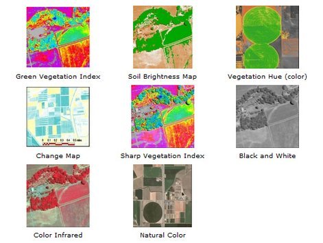
Vegetation Index Maps
Copyright © MAXAR/DigitalGlobe. All rights reserved.
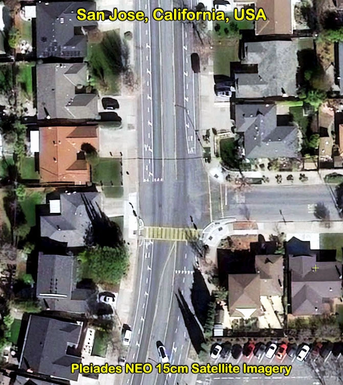
Satellite images with moderate to high-resolution format have facilitated scientific research activities at landscape and regional scales. Availability of satellite imagery can provide spatial resolutions of up to 30 cm for analysis of urban growth and for transportation development for assessment and monitoring. Moreover, multispectral bands can providean increased spectral resolution that can be used to further analyze and classify environmental conditions, land cover and change detection, and how urban growth and associated transportation development impact these conditions.
Satellite map analysis allows for:
- Fast and accurate overview
- Quantitative green vegetation assessment
- Underlying soil characteristics
Satellite images enable direct observation of the land surface at repetitive intervals and therefore allow mapping of the extent and monitoring and assessment of:
- Crop health
- Stormwater runoff
- Change detection
- Air quality
- Environmental analysis
- Energy savings
- Irrigated landscape mapping
- Carbon storage and avoidance
- Yield determination
- Soils and Fertility Analysis
- Identification of