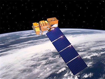
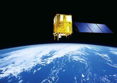
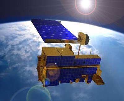
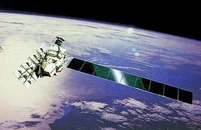
Landsat 7 ETM+ Satellite Sensor
(15m)
The Landsat 7 ETM+ satellite sensor was successfully launched from the Vandenburg Air Force Base on April 15, 1999. Landsat 7 satellite is equipped with Enhanced Thematic Mapper Plus (ETM+), the successor of TM. The observation bands are essentially the same seven bands as TM, and the newly added panchromatic band 8, with a high resolution of 15-meters was added. An instrument malfunction occurred on May 31, 2003, with the result that all Landsat 7 scenes acquired since July 14, 2003, have been collected in “SLC-off” mode.
Landsat 7 ETM+ Satellite Sensor (15m)
NASA
For many image requests, a matching image can be located in our global archives of Landsat 7 imagery. If no image data is available in the archives, new Landsat 7 satellite images can be acquired through a satellite tasking process.
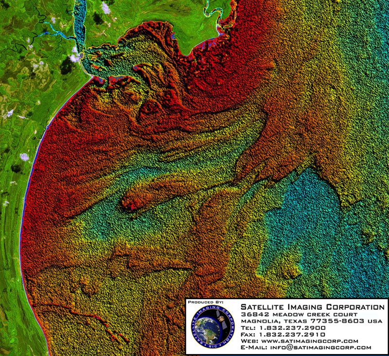
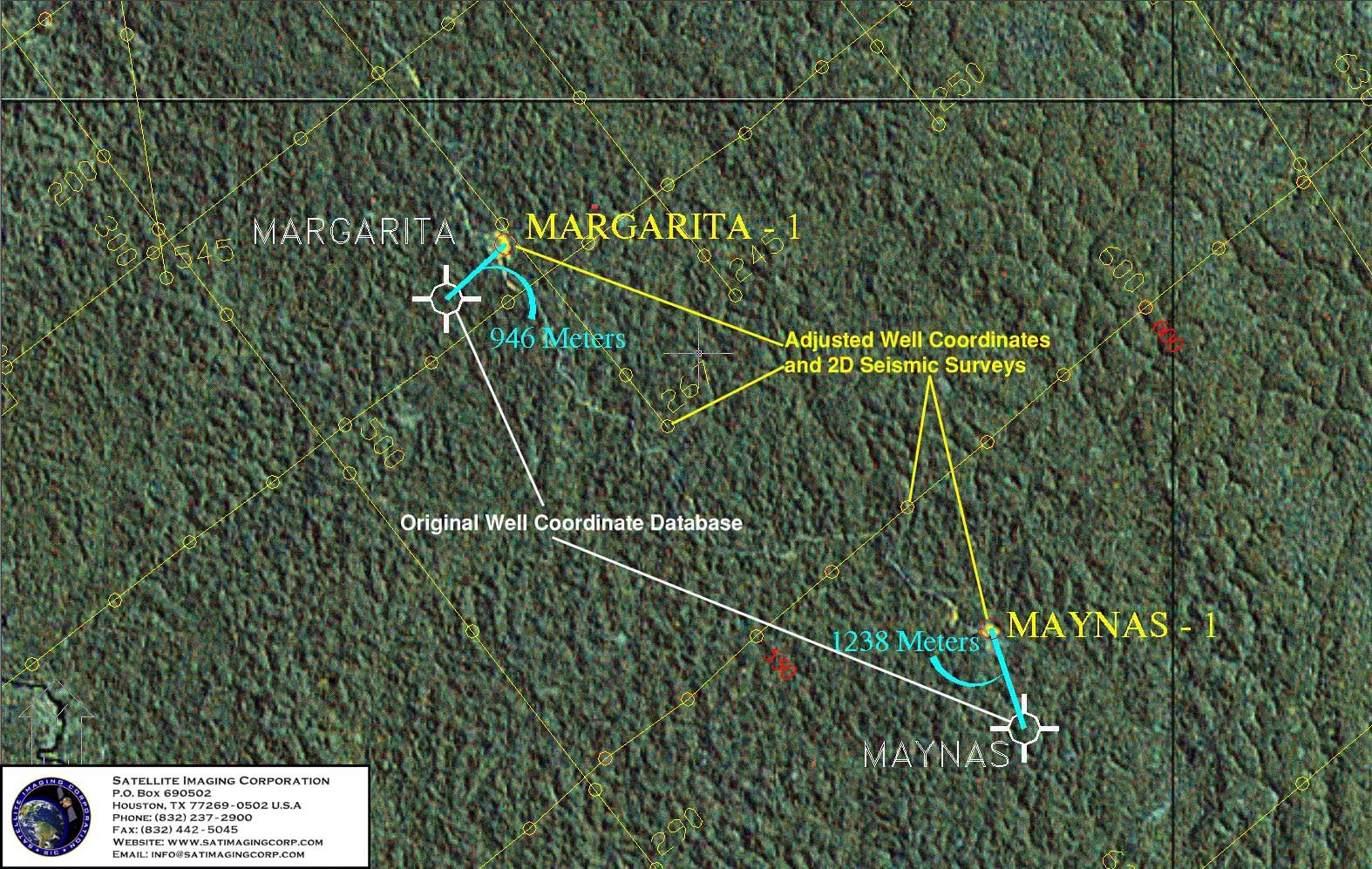
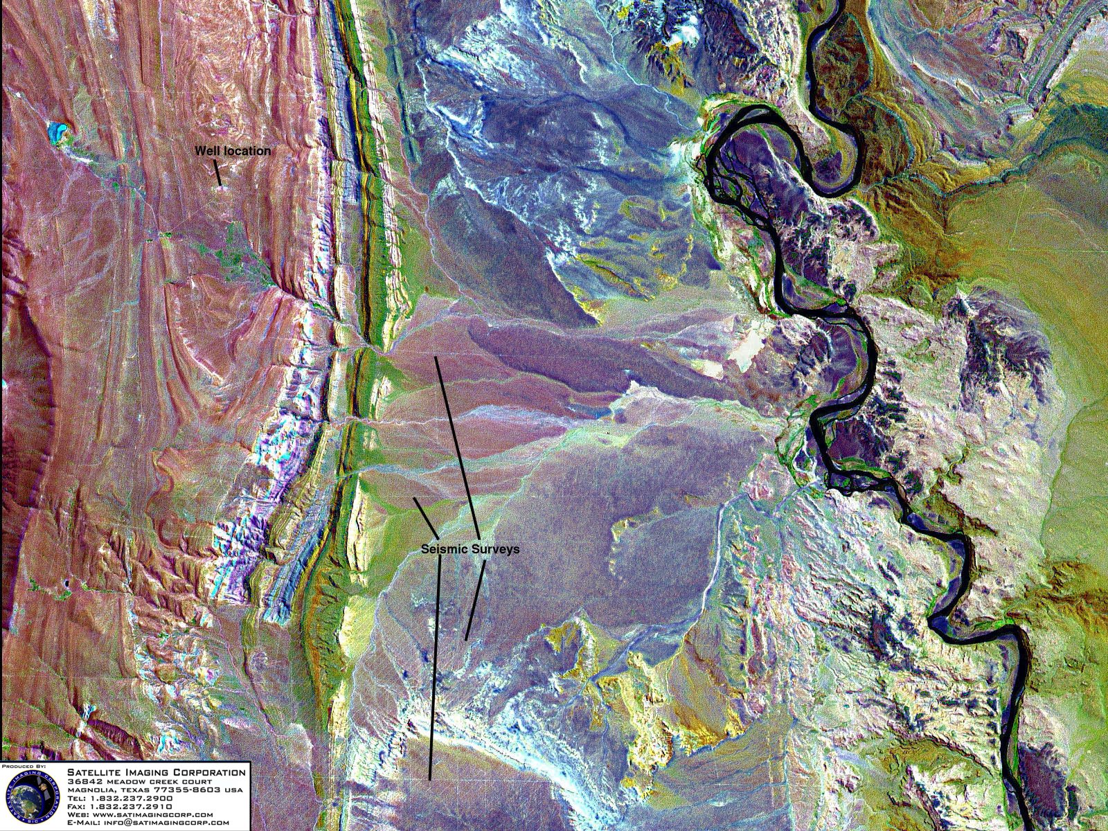
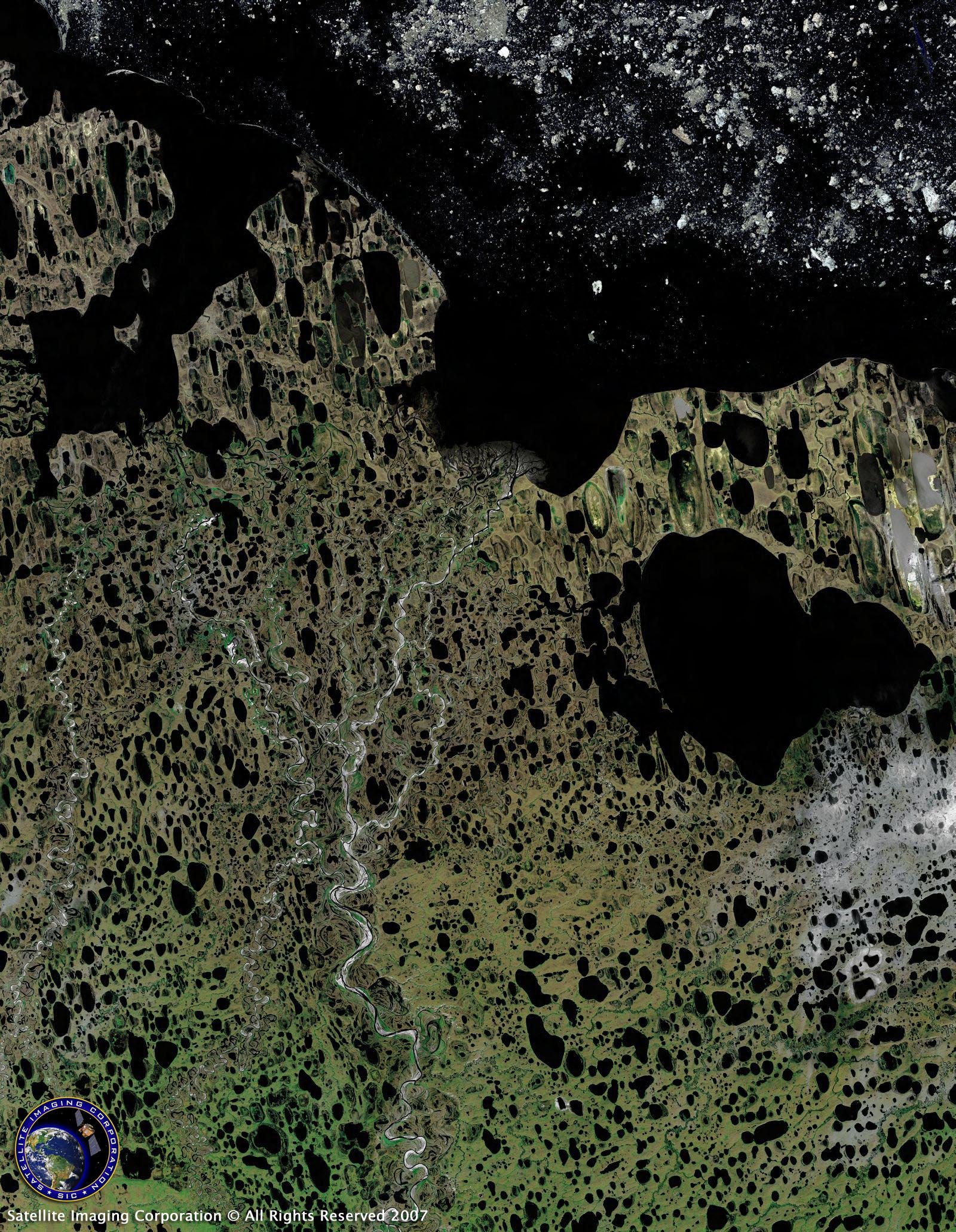
Landsat data has been used by government, commercial, industrial, civilian, and educational communities throughout the world. The data is used to support a wide range of applications in areas such as global change research, agriculture, forestry, mining, and land cover and change detection. The images can be used to map anthropogenic and natural changes on the Earth over periods of several months to two decades. The types of changes that can be identified include agricultural development, deforestation, desertification, natural disasters, mineral exploration, classification, urban development, and degradation of water resources.
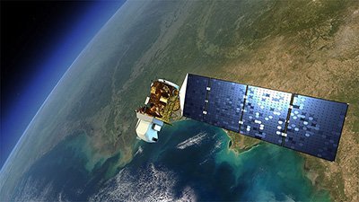
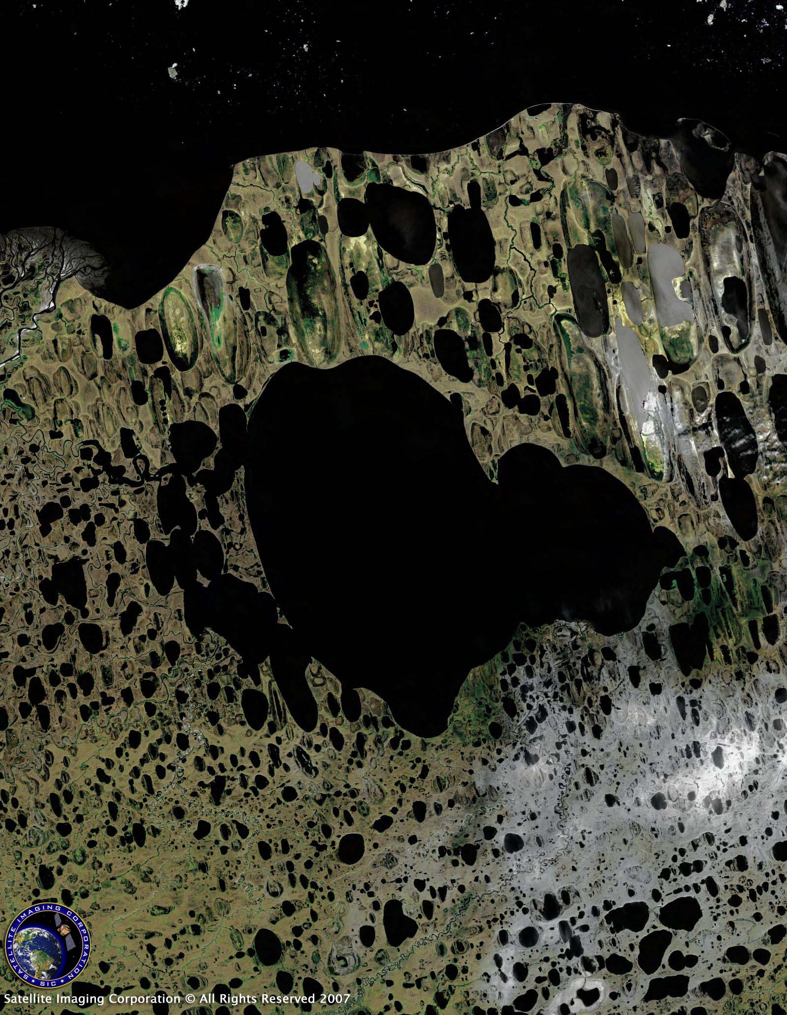
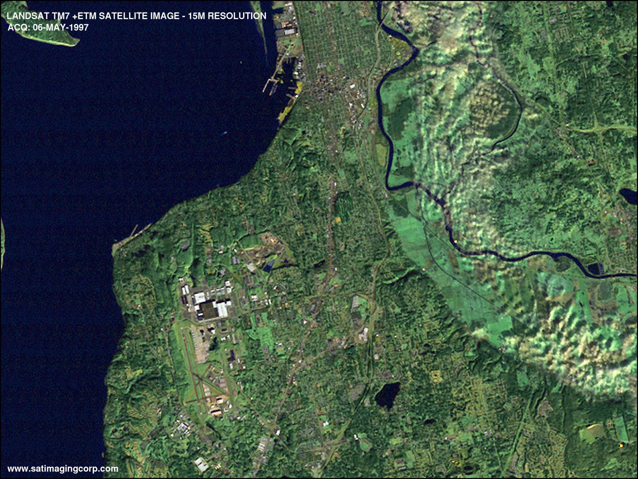
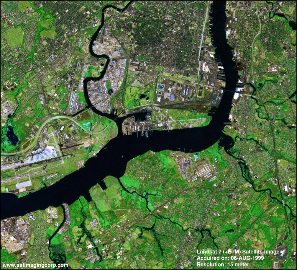
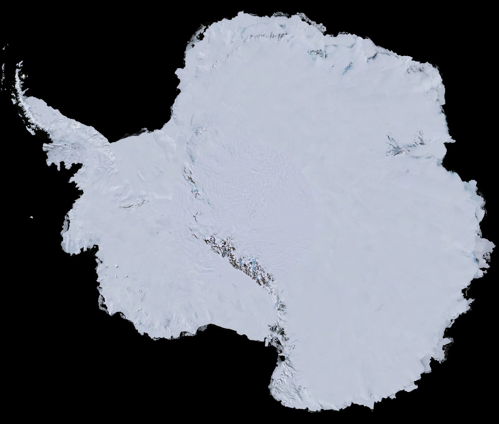
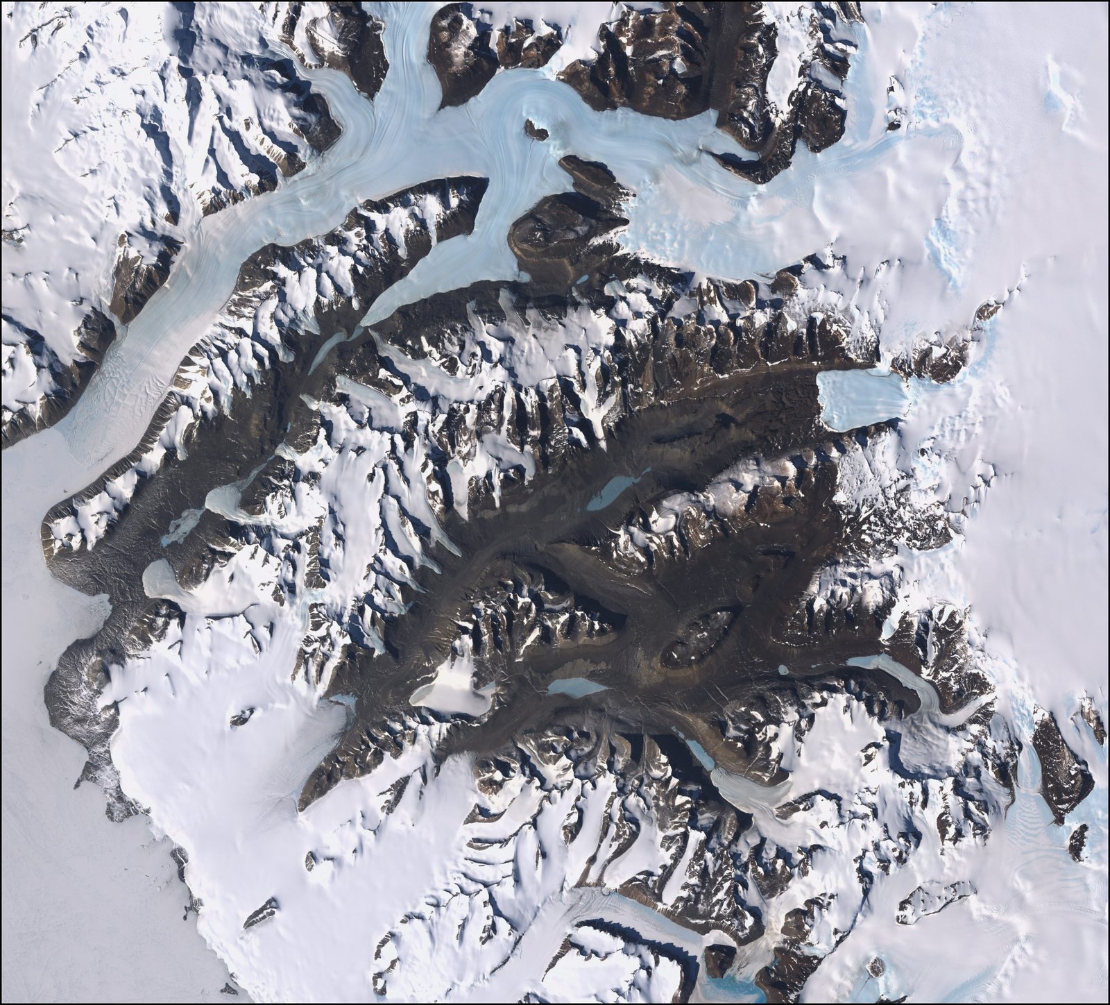
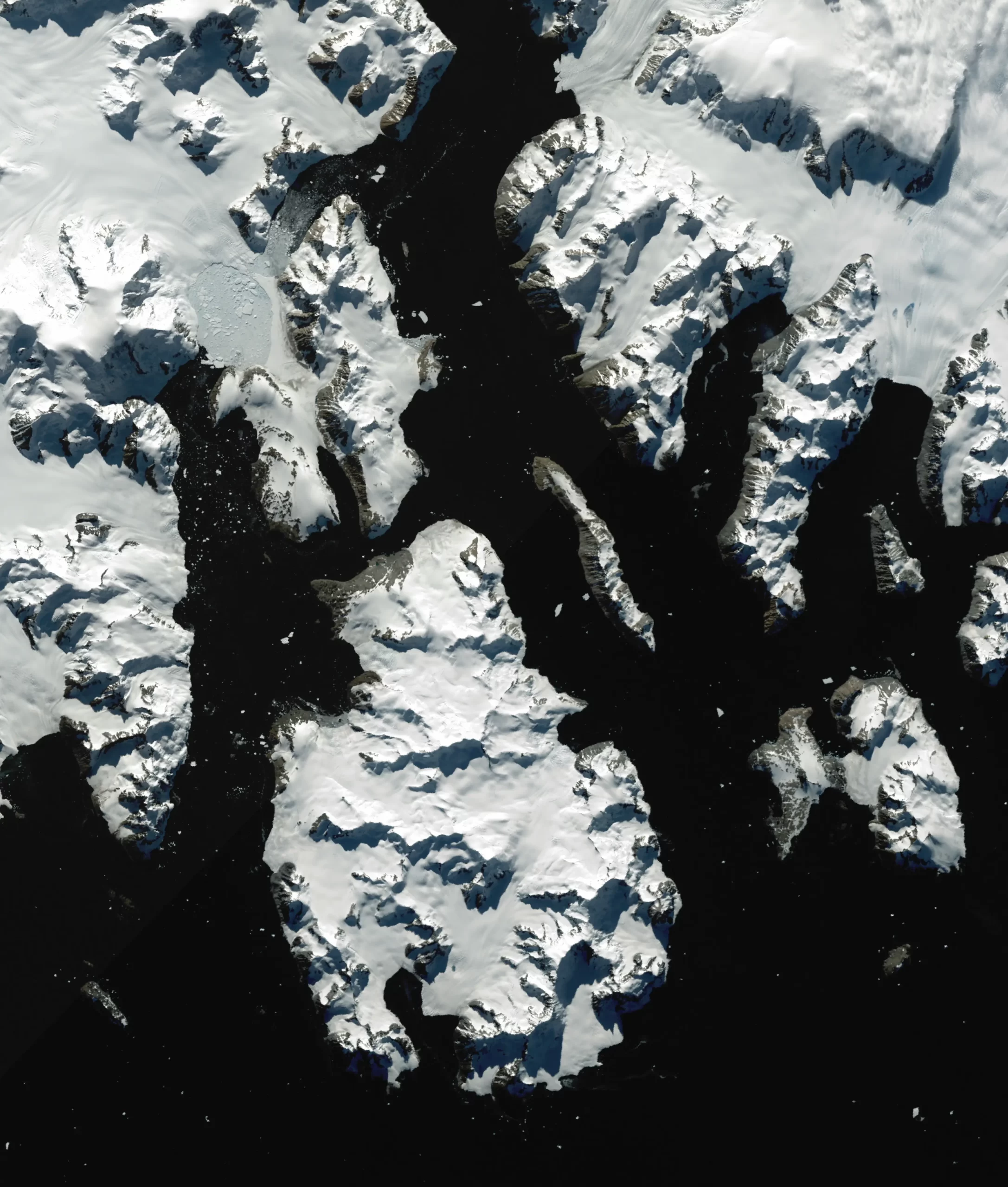
Sample Images
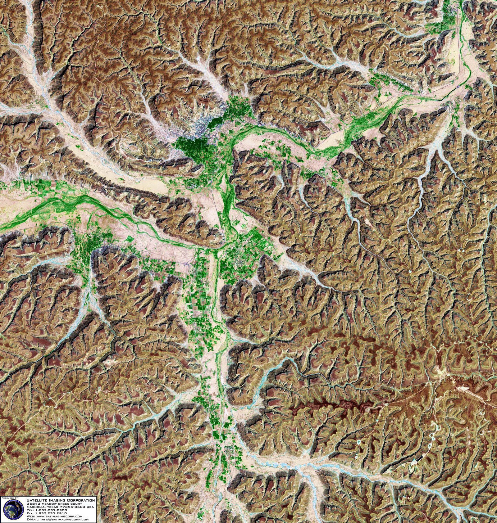
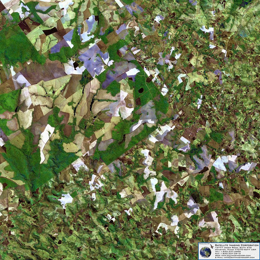
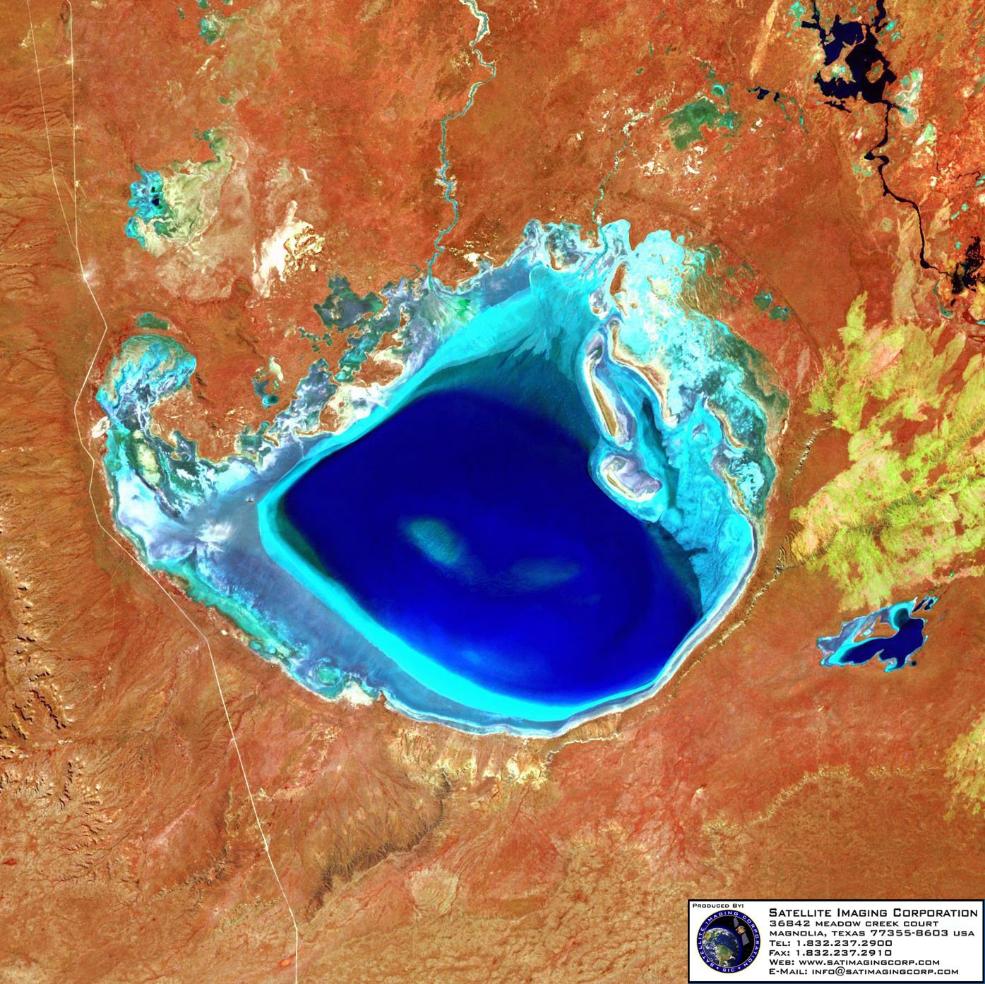
Landsat 7 ETM+ Satellite Image Gallery
* Click on thumbnail to view in full resolution.
For more information on any of our products and image processing services, please contact us for a complimentary consultation.
Landsat7 ETM+ Satellite Sensor Specifications
Launch Date
15 April 1999, at Vandenberg Air Force Base in California
Spatial Resolution
15m Panchromatic, 30m VNIR/ SWIR and Thermal
Orbit
705 +/- 5 km (at the equator) sun-synchronous
Orbit Inclination
98.2 +/- 0.15
Orbit Period
98.9 minutes
Grounding Track Repeat Cycle
16 days (233 orbits)
Resolution
15 to 60 meters


