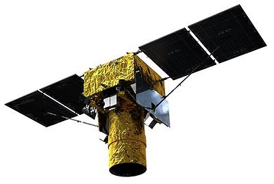
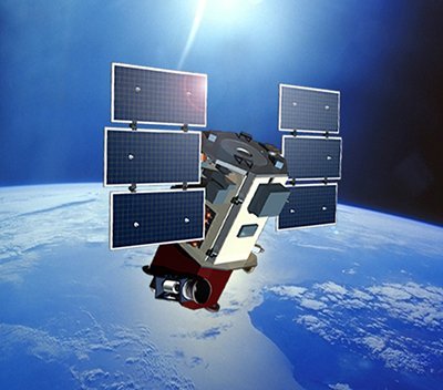
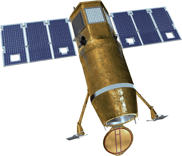
Pleiades-1B Satellite Sensor
(0.5m)
Pleiades-1B satellite sensor was successfully launched on December 2, 2012. Built by AIRBUS Defence & Space, the satellite was launched from a Soyuz launcher at the European Space Centre in French Guiana. Watch video Pleiades-1B satellite launch.
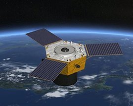
The launch of Pleiades-1B satellite sensor marks the third step in the formation of a constellation of four satellites combining a double daily revisit capability and an ingenious range of resolutions.
Pleiades-1B Satellite Sensor (0.5m)
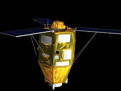
Copyright © AIRBUS Defence & Space. All rights reserved.
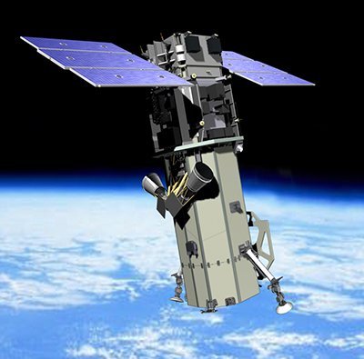
Pleiades-1A and 1B satellites will deliver 0.5m imagery products and will be phased 180° apart in the same near-polar sun-synchronous orbit at an altitude of 694 km, enabling daily revisit to any location on the planet which makes it ideal for mapping large scale areas including engineering and construction projects, monitoring of mining, industrial and military complexes, conflict zones and crisis/disaster areas, natural hazards, evacuation, and rescue operations.
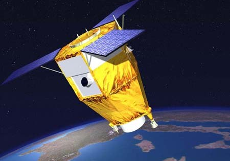
In addition to high precision, the Pleiades-1A and 1B satellites are also notable for their remarkable agility, which enables tilted imaging from nadir and operation in several acquisition modes (20 images over 1000 x 1000 km2, stereo, 3D, mosaic, corridor, etc.).
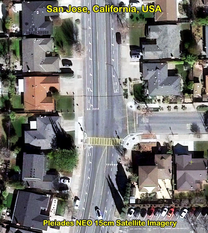
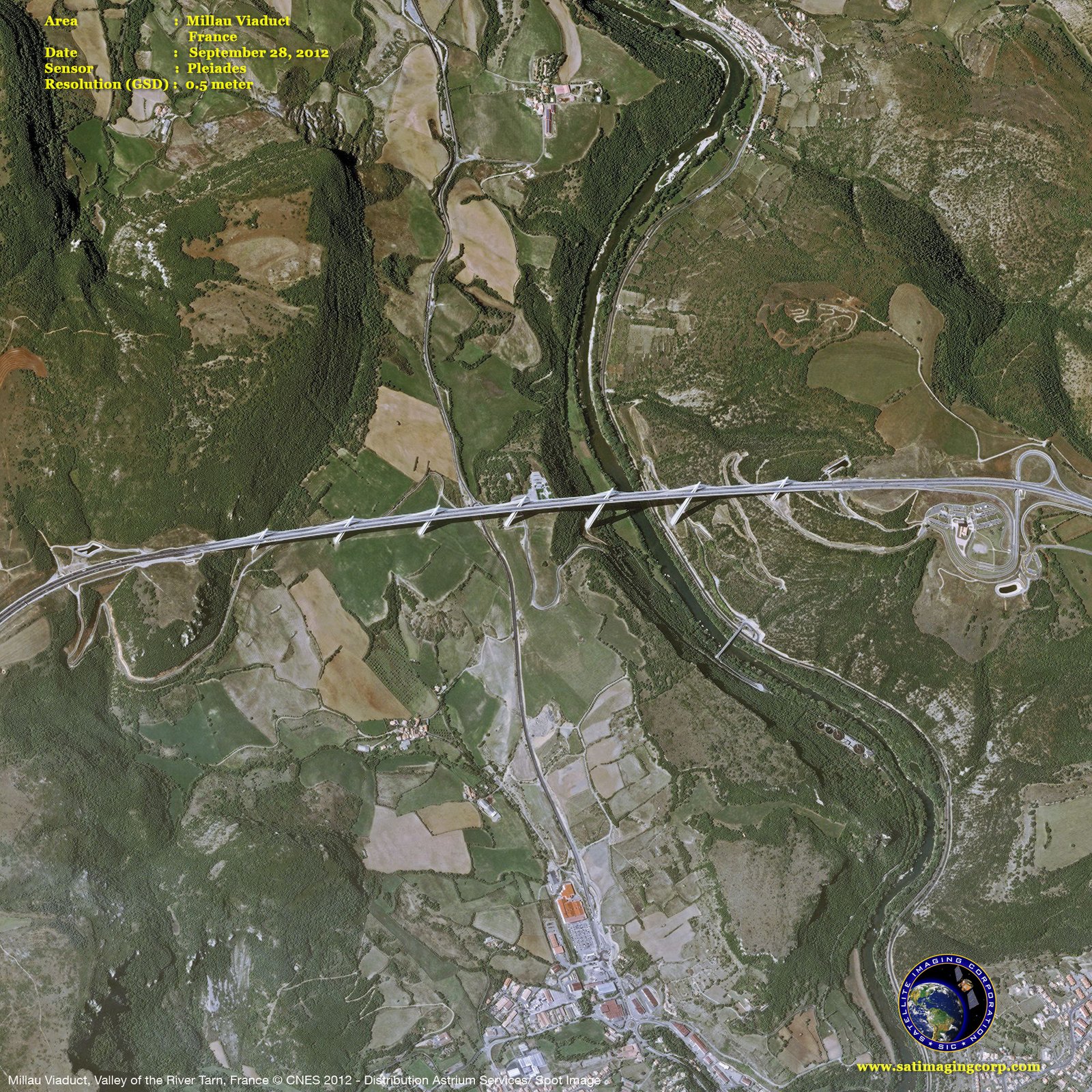
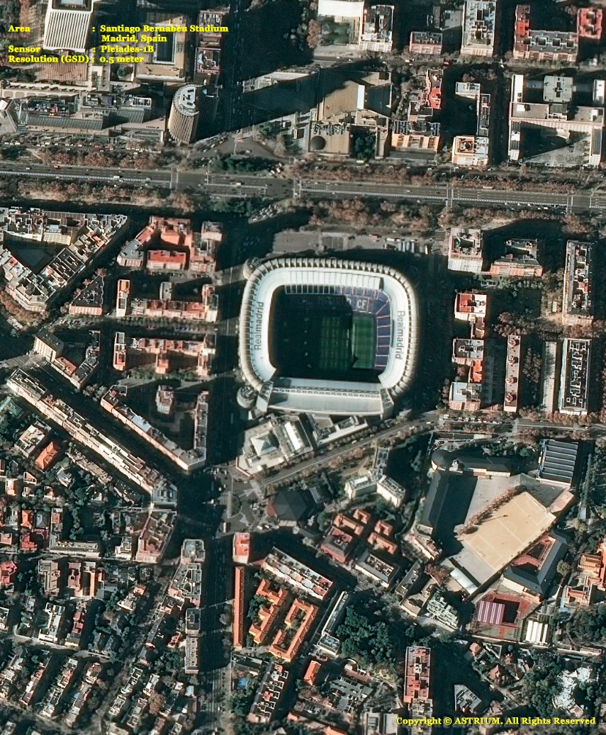
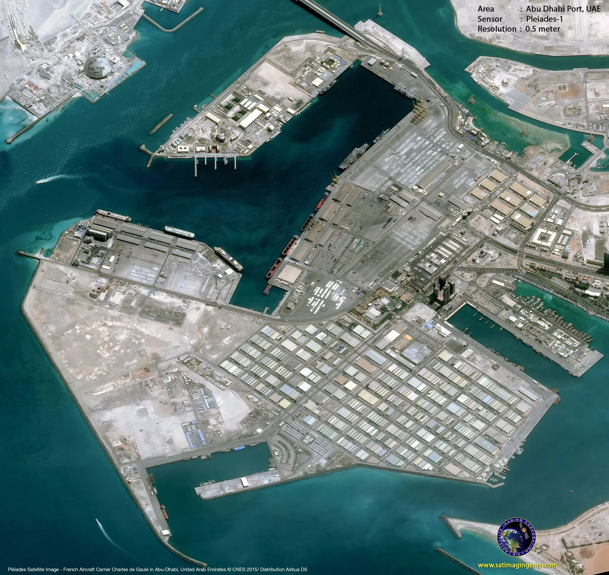
Sample Images
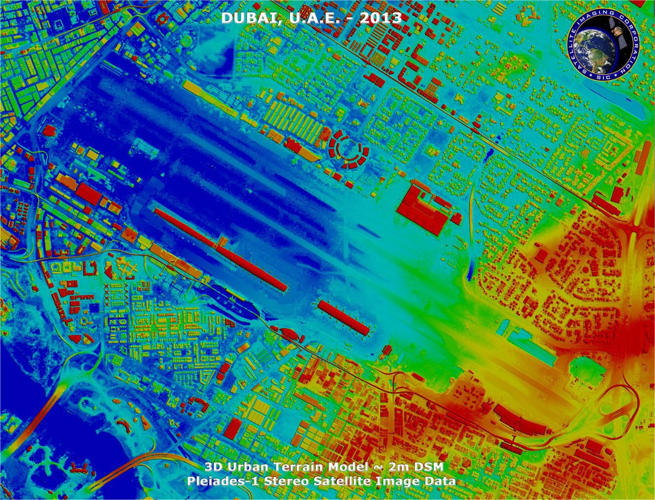
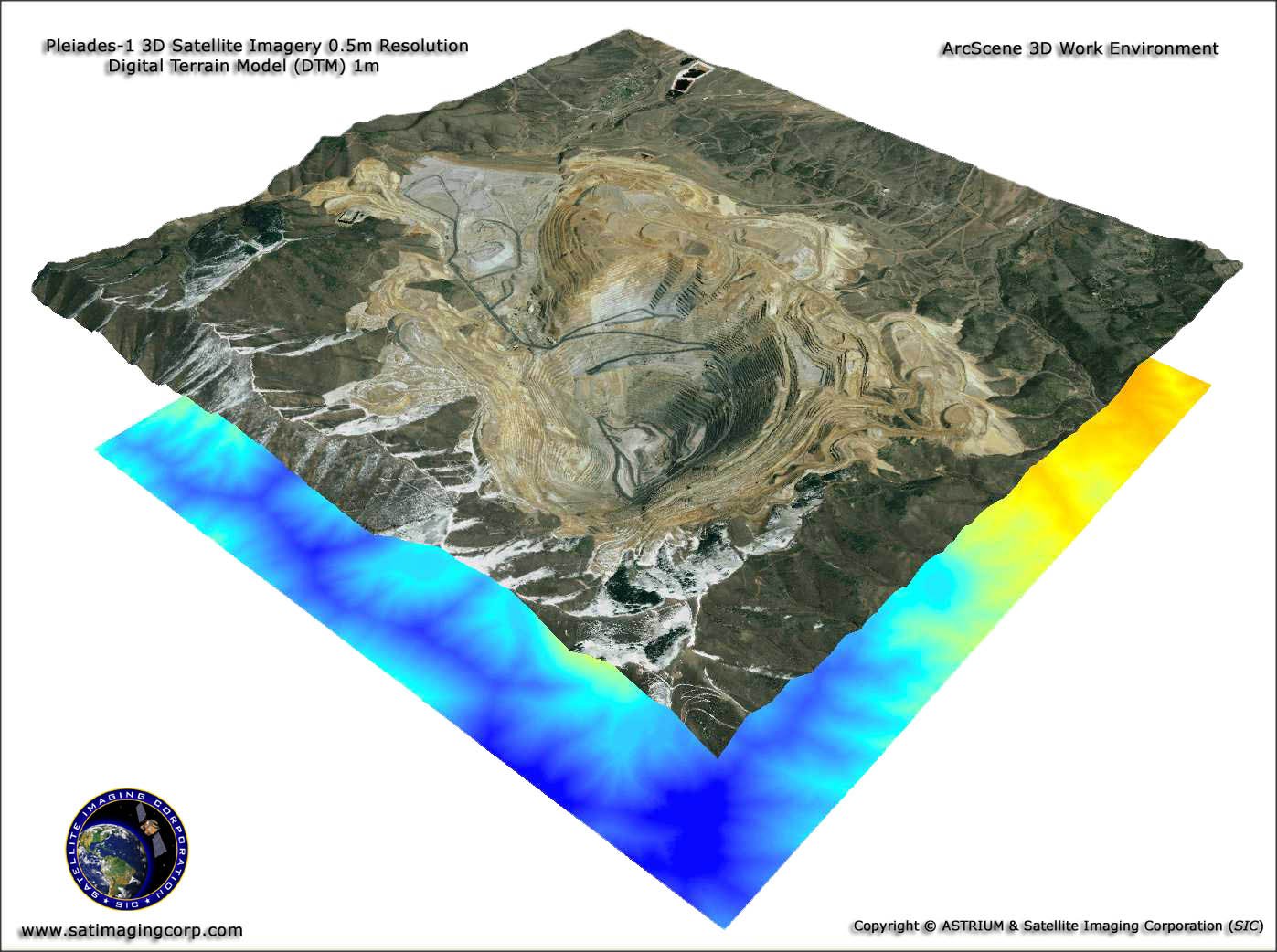
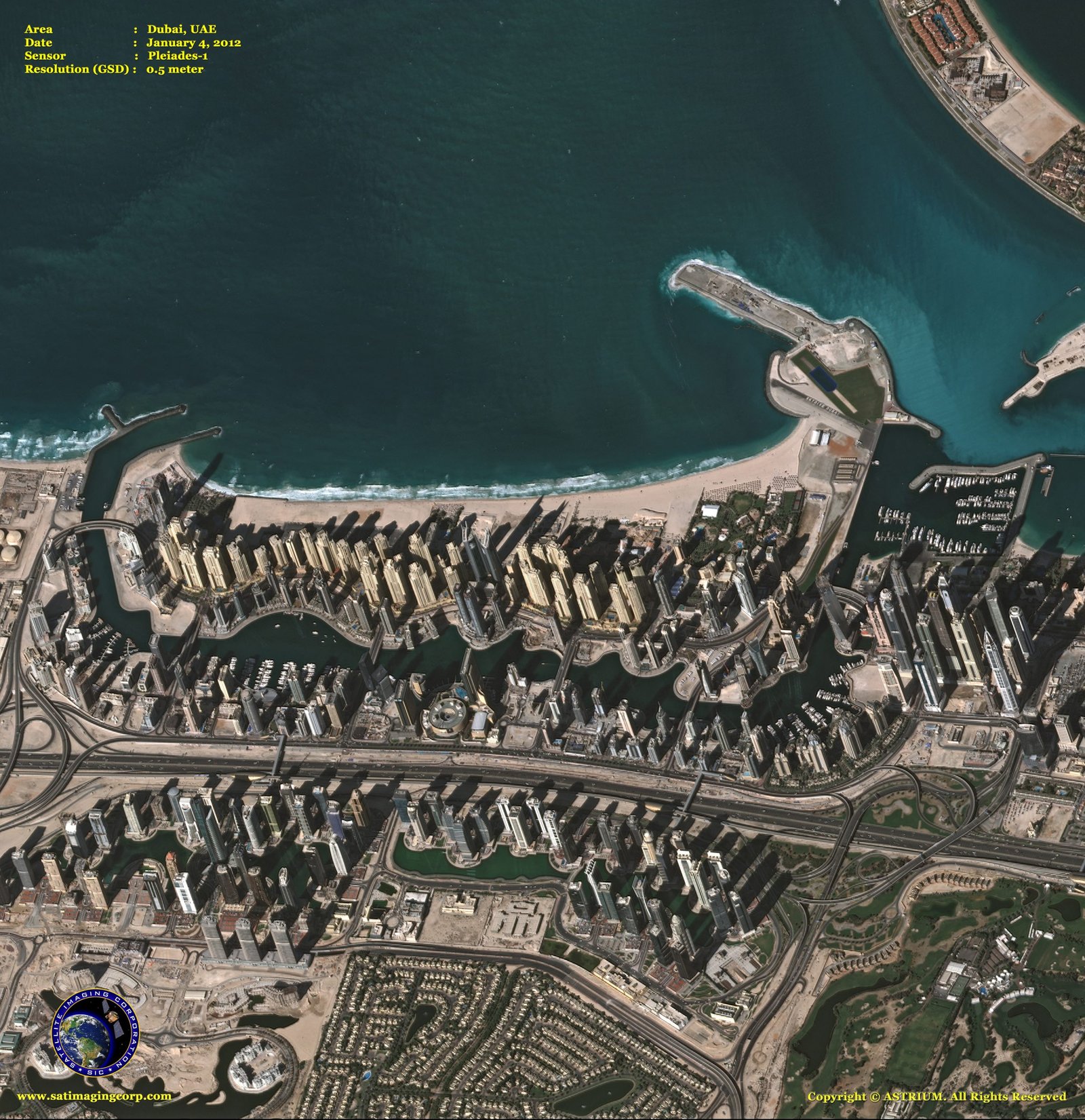
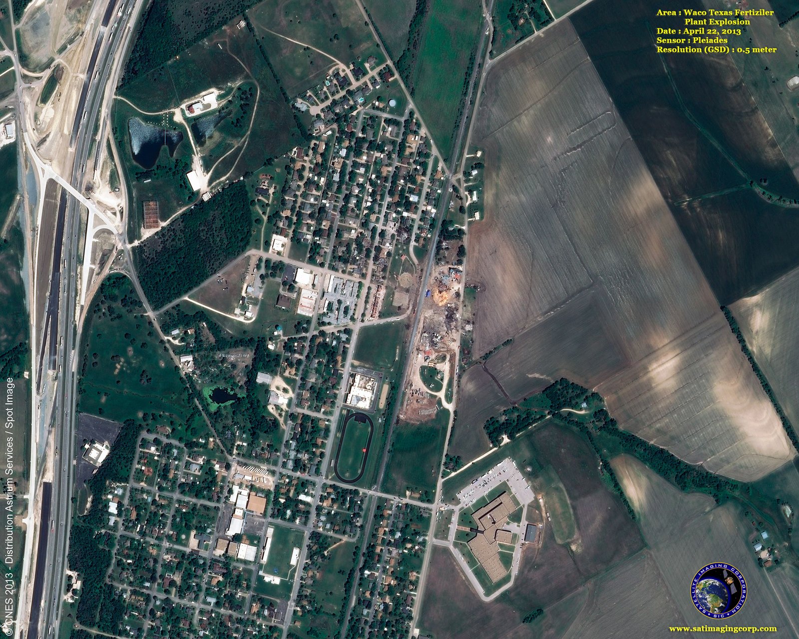
Pleiades-1B Satellite Image Gallery
* Click on thumbnail to view in full resolution.
For more information on any of our products and image processing services, please contact us for a complimentary consultation.
Pleiades-1B Satellite Sensor Characteristics
Imagery Products
50-cm panchromatic
50-cm color (pansharpened)
2-meter multispectral
Bundle: 50-cm panchromatic and 2-meter multispectral
Spectral Bands
Panchromatic: 480-830 nm
Blue: 430-550 nm
Green: 490-610 nm
Red: 600-720 nm
Near Infrared: 750-950 nm
Preprocessing Levels
Sensor
Ortho
Image Location Accuracy
With ground control points: 1m
Without ground control points: 3m (CE90)
Imaging Capacity
Daily constellation capacity: 1,000,000 sq.km.
Strip mapping (mosaic): 100 km x 100 km
Stereo imaging: 20 km x 280 km
Max. spots over 100 km x 200 km: 30 (crisis mode)
Imaging Swath
20 km at nadir
Revisit Interval
Daily (Pleiades-1A and 1B)


