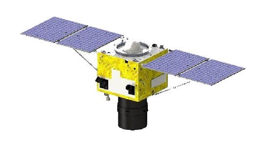
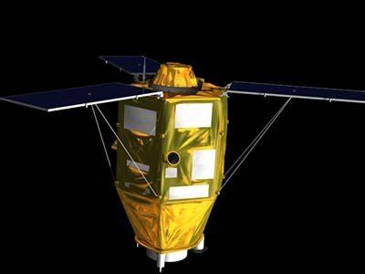
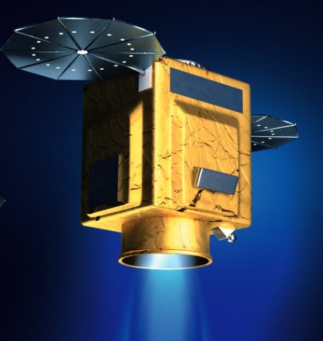
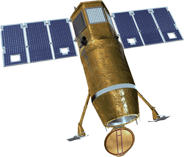
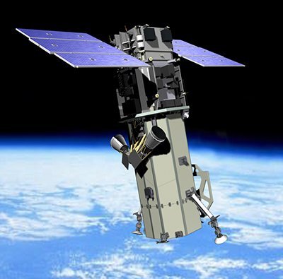
Jilin-1 Satellite Sensor Constellation
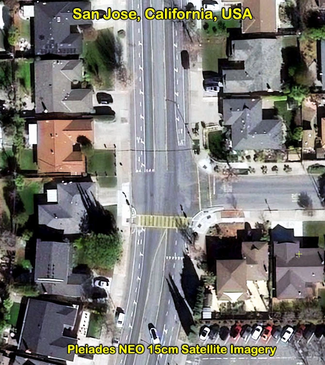
(50cm)
The Jilin-1 satellite constellation features a variety of sensors owned by Chang Guang Satellite Technology Company. Jilin-1 satellite constellation has the capability to capture high definition 4HD video imaging with a resolution of 1.2m, and high-resolution 50cm panchromatic and 2m multispectral imagery day or night with swath widths up to 150km, and high revisit rates daily. Jilim-1 satellite constellation can produce high-resolution satellite images for various mapping applications including: environmental monitoring, forest management, energy, mining, land planning, and more.
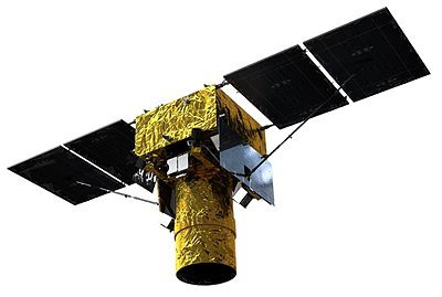
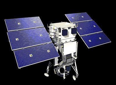
Jilin-1 Panchromatic Satellite (50cm)

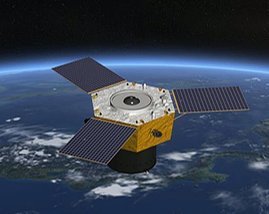
Jilin-1 Hyperspectral Satellite (2m)
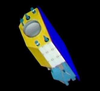
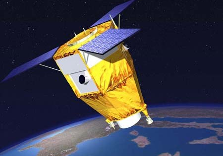
Jilin-1 Satellite 4HD Video
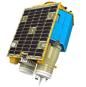
Image copyright © Chang Guang Satellite Company Ltd.
Jillin-1 Satellite Sensor Specifications
Resolution
Vary by satellite, with some providing resolutions as high as 50cm panchromatic and 2m multispectral
Swath width
Ranges from 17km for some smaller models to over 150km for wider imaging satellites
Video capabilities
Real-time 4K HD video with resolutions of 1.13m to 1.2m, as well as nighttime imagery
Revisit time
12 revisits per day or 38-40 times a day globally
Orbit
Sun-synchronous orbit, which helps in consistent imaging
Accuracy
1.2m with suitable ground control
Dynamic Range
11 bits
Lifespan
The expected operational life is over one year for many satellites