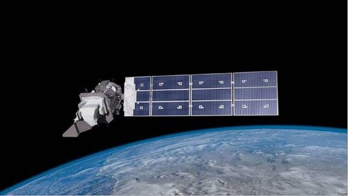
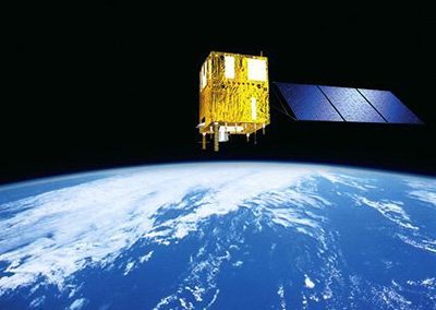
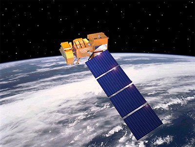
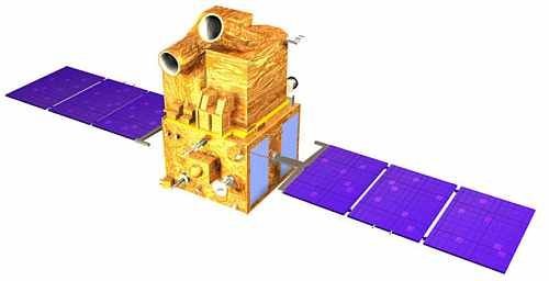
ASTER Satellite Sensor
(15m)
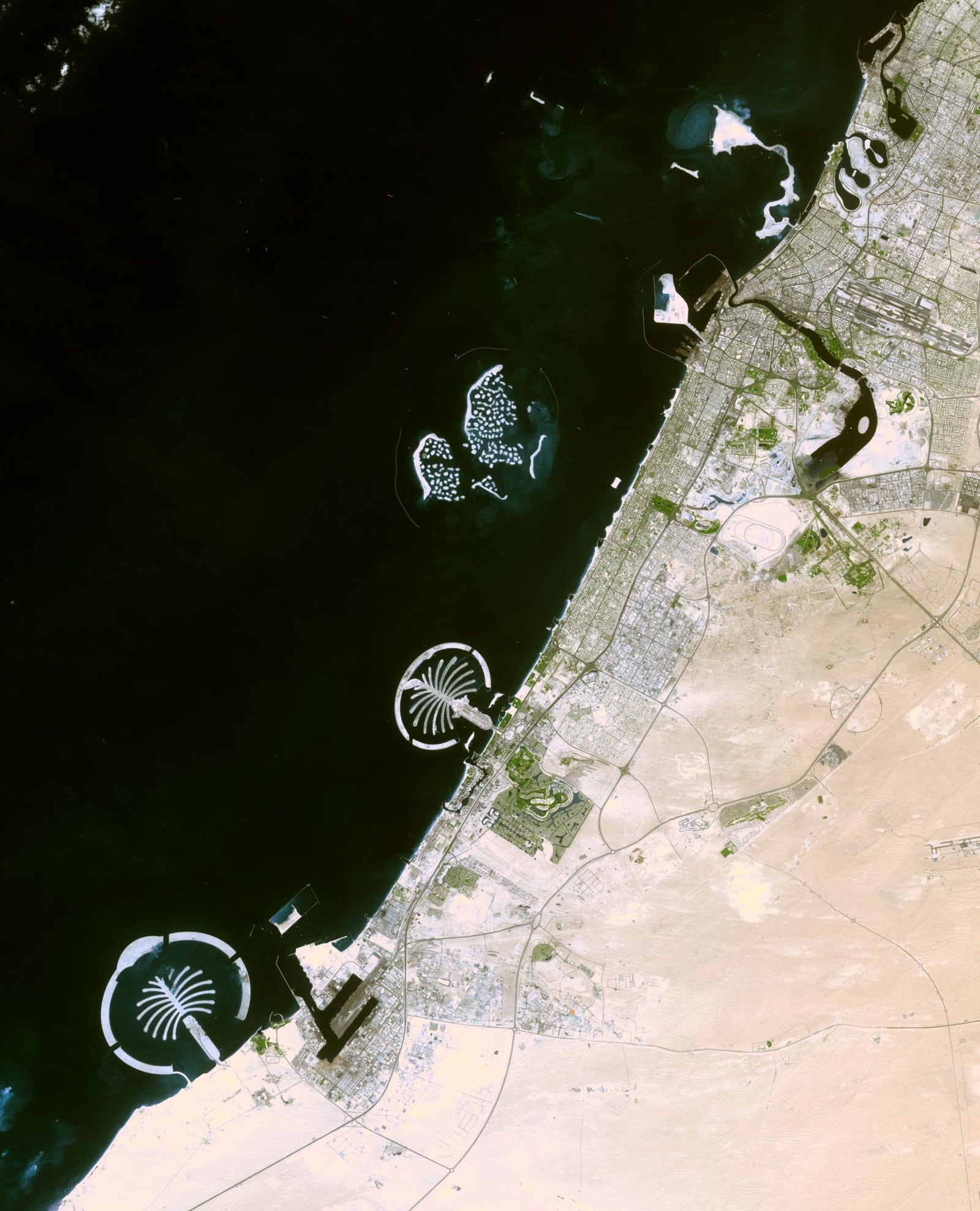
ASTER satellite sensor is one of the five state-of-the-art instrument sensor systems on-board the Terra satellite that was launched on December 18, 1999, at Vandenberg Air Force Base, California, USA.
ASTER is a 15-meter, 14 band multispectral resolution instrument. It can be used for land cover and change detection, calibration, validation, and land surface studies.
ASTER Satellite Sensor (15m)
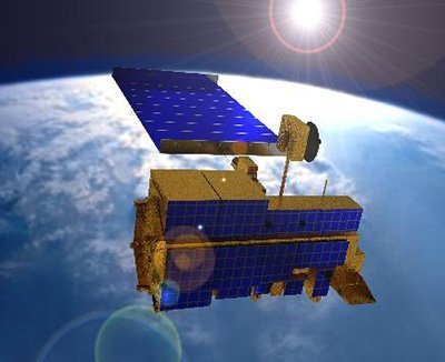
Copyright © NASA/Japanese Space Team. All rights reserved.
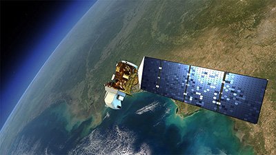
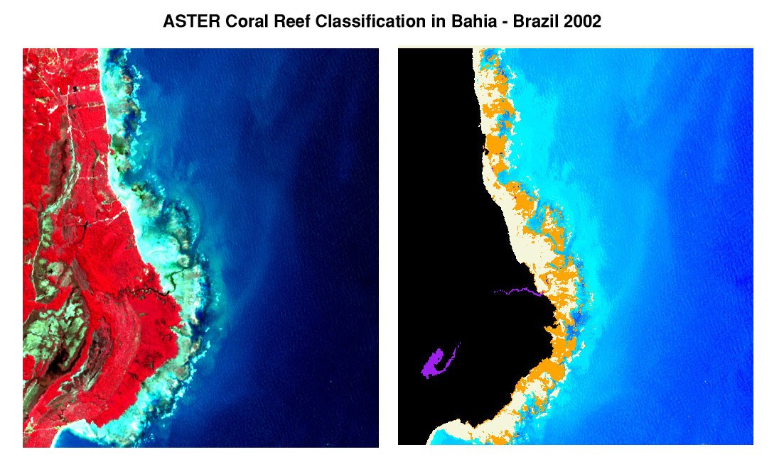
ASTER satellite image data is expected to contribute to a wide array of global change-related application areas, including vegetation and ecosystem dynamics, hazard monitoring, geology soils, land surface climatology, hydrology, and the generation of digital elevation models (DEMs).
ASTER high-resolution satellite is capable of producing stereo imagery for creating detailed digital terrain models (DTMs).
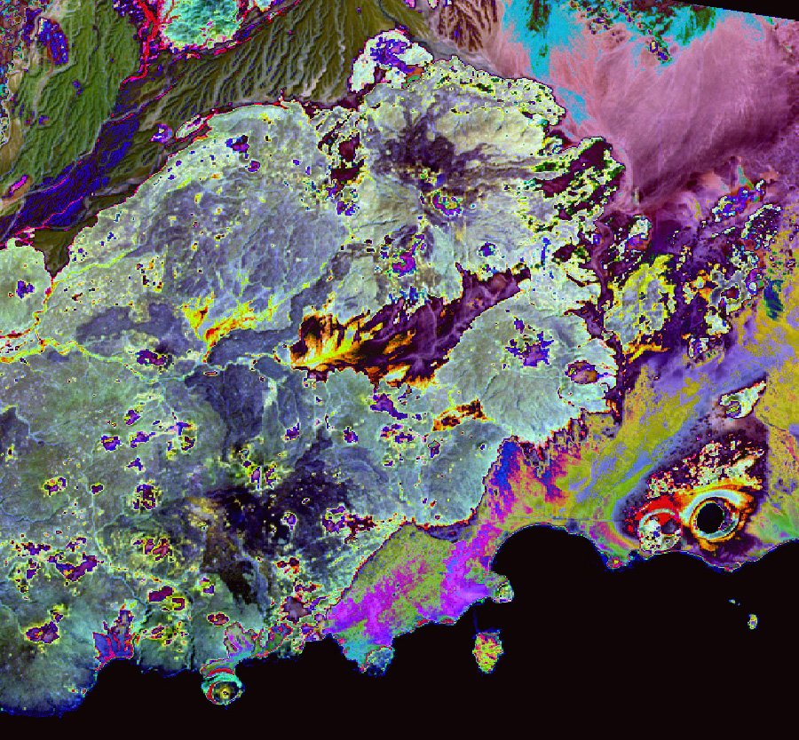
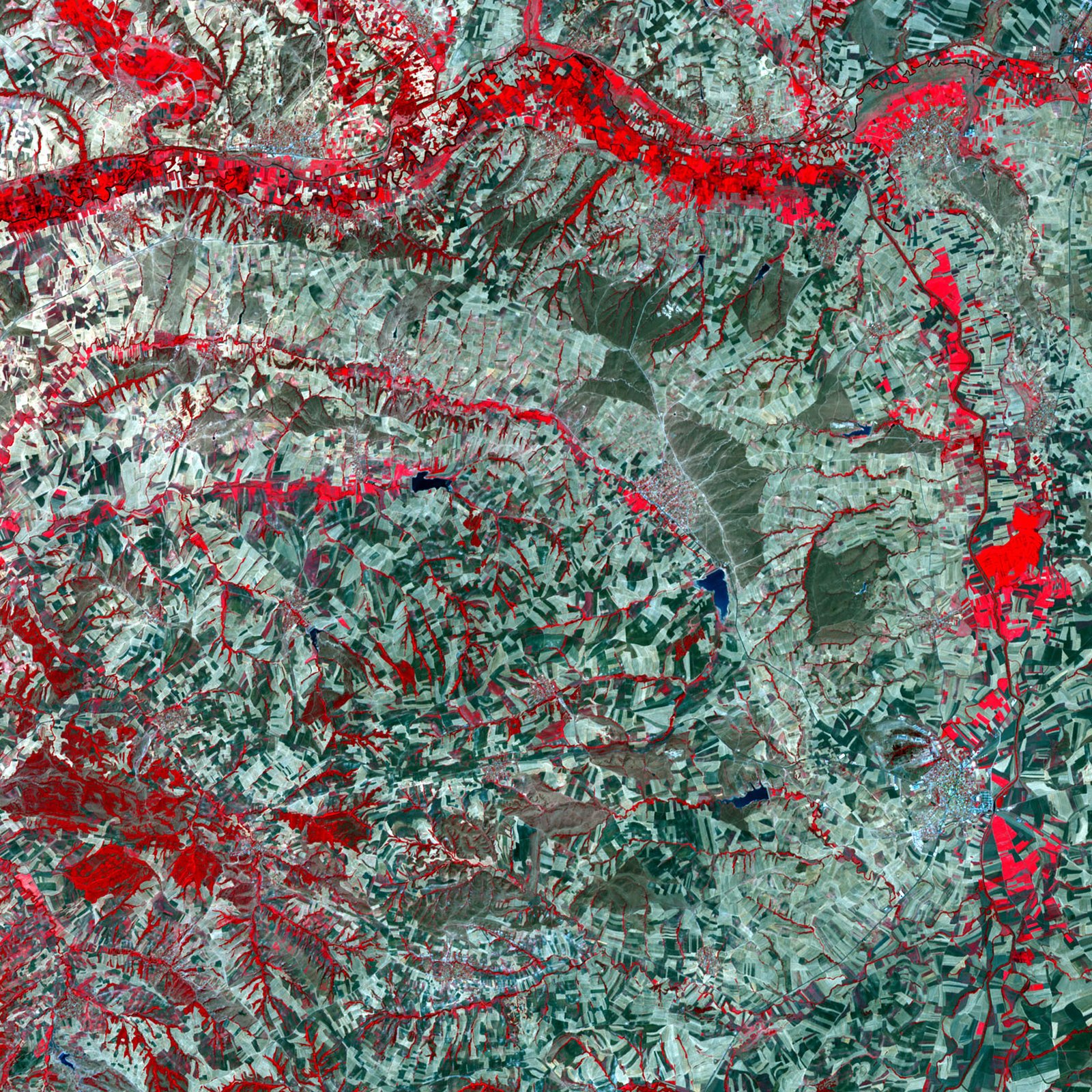
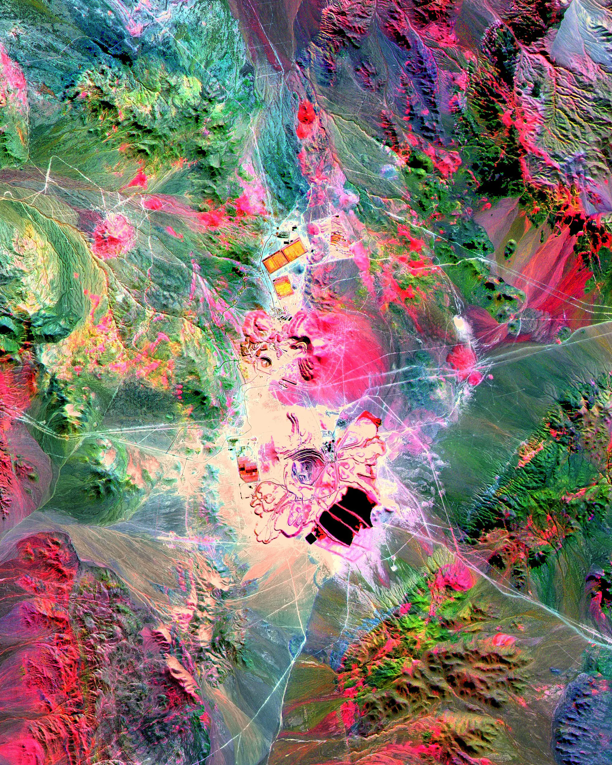
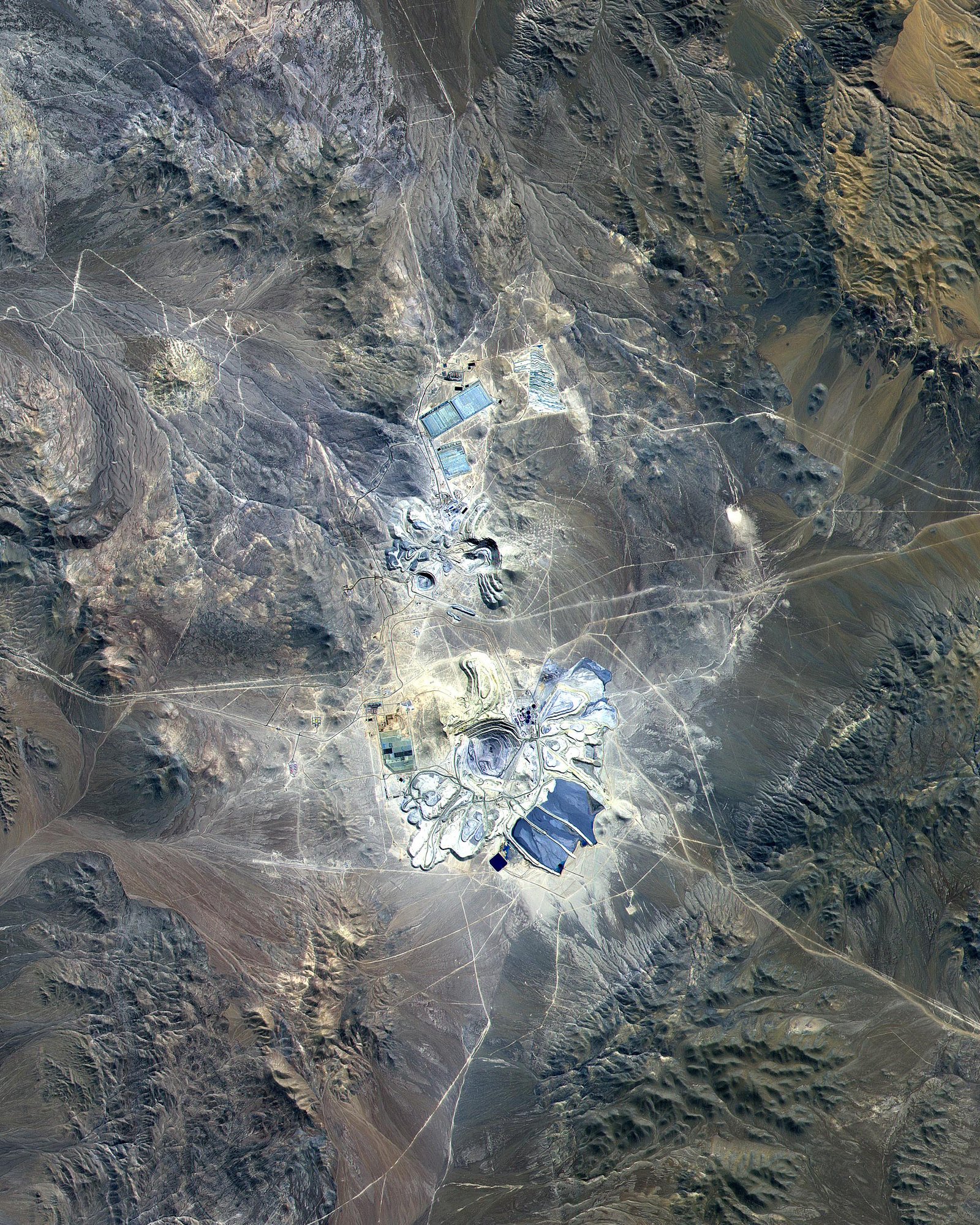
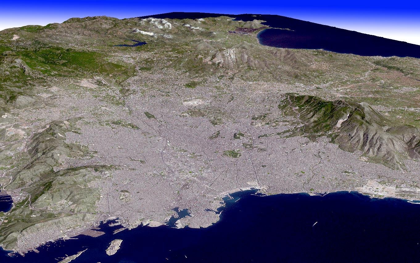
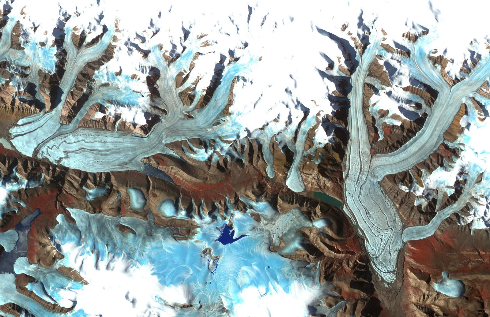
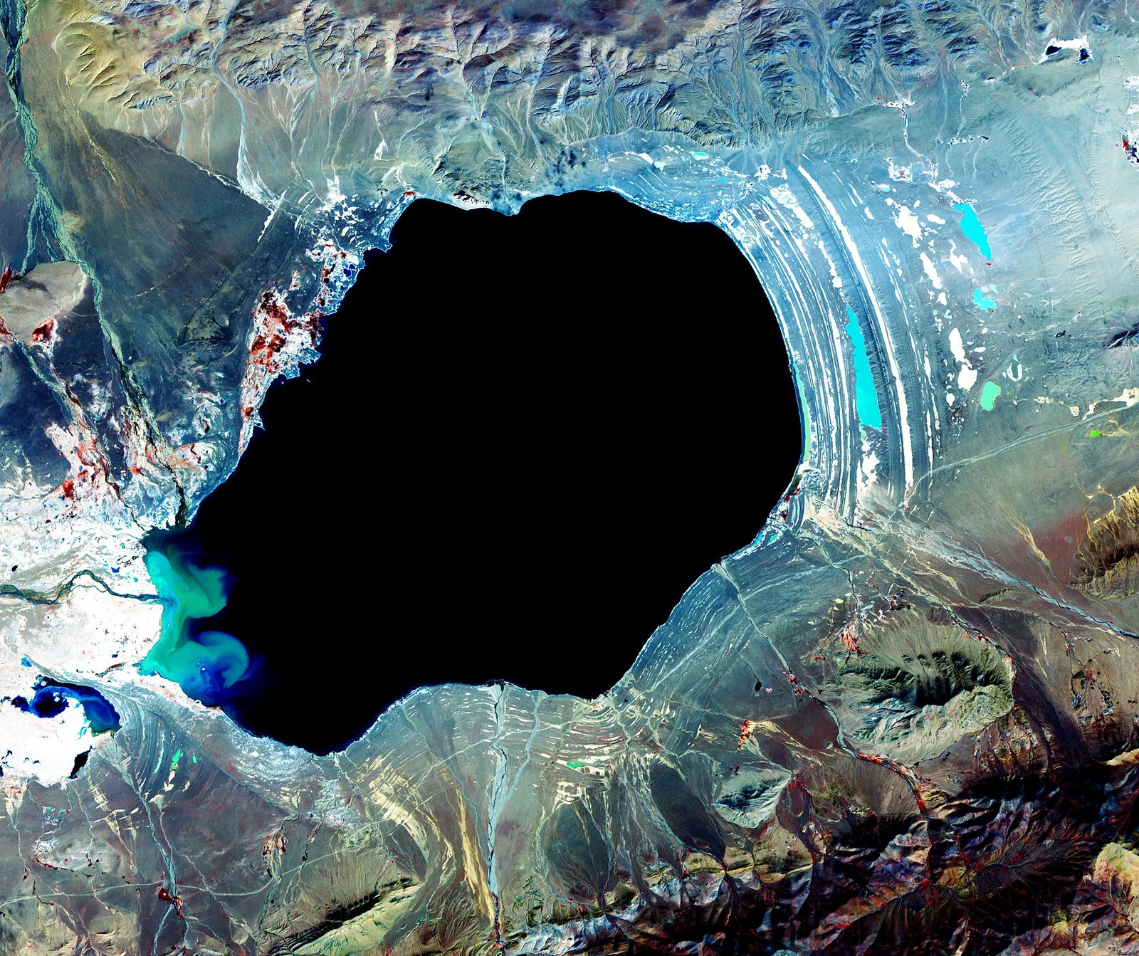
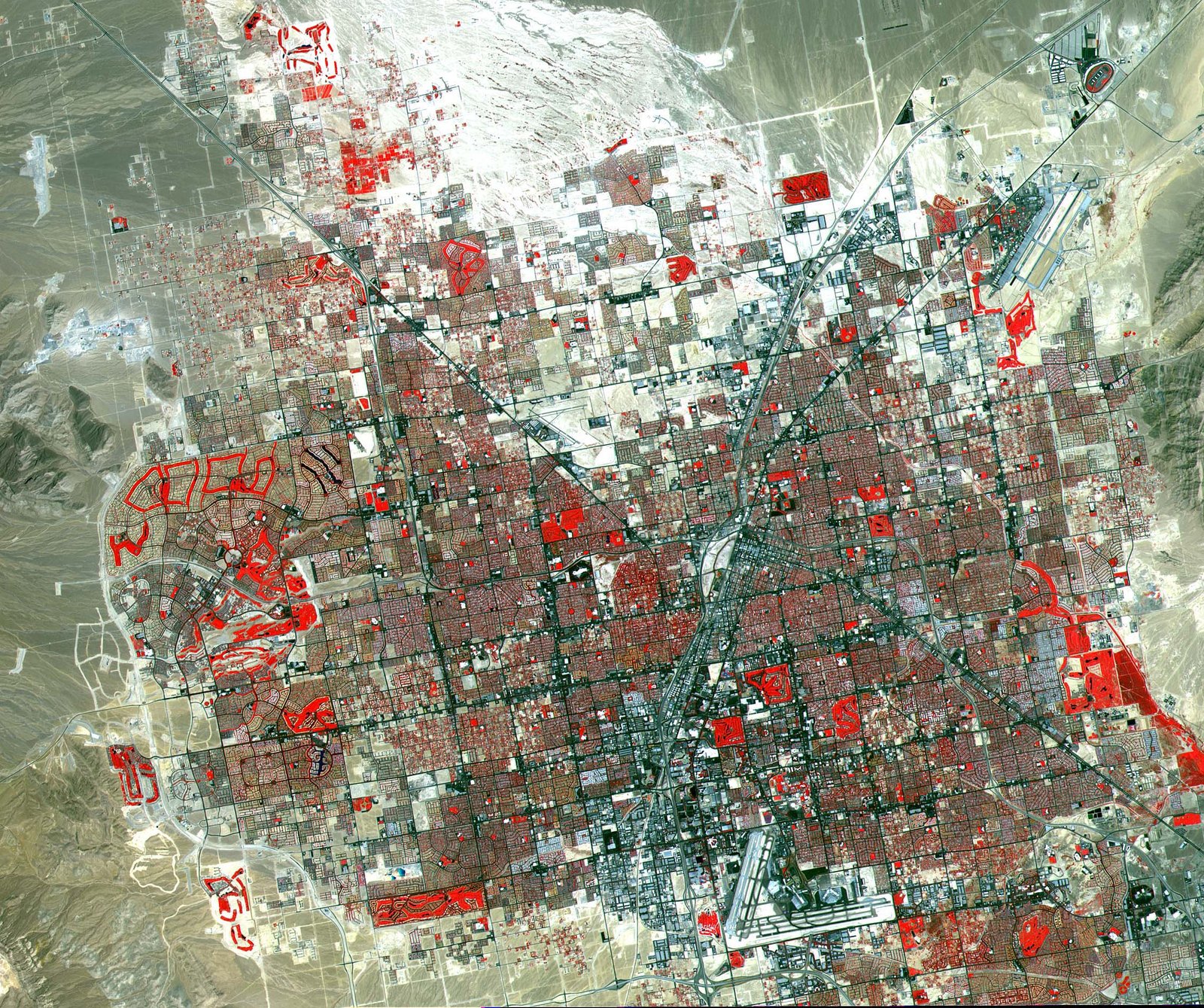
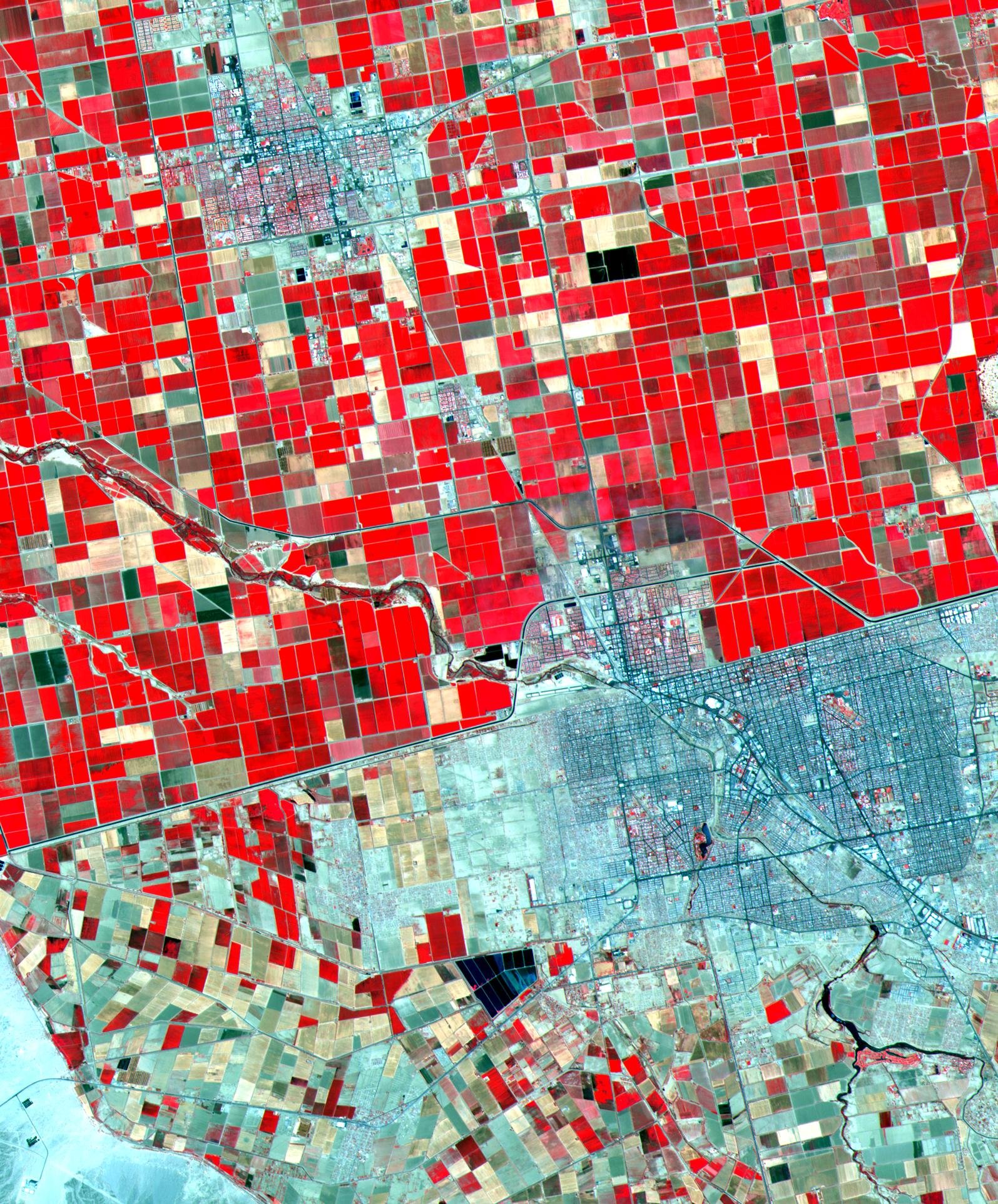
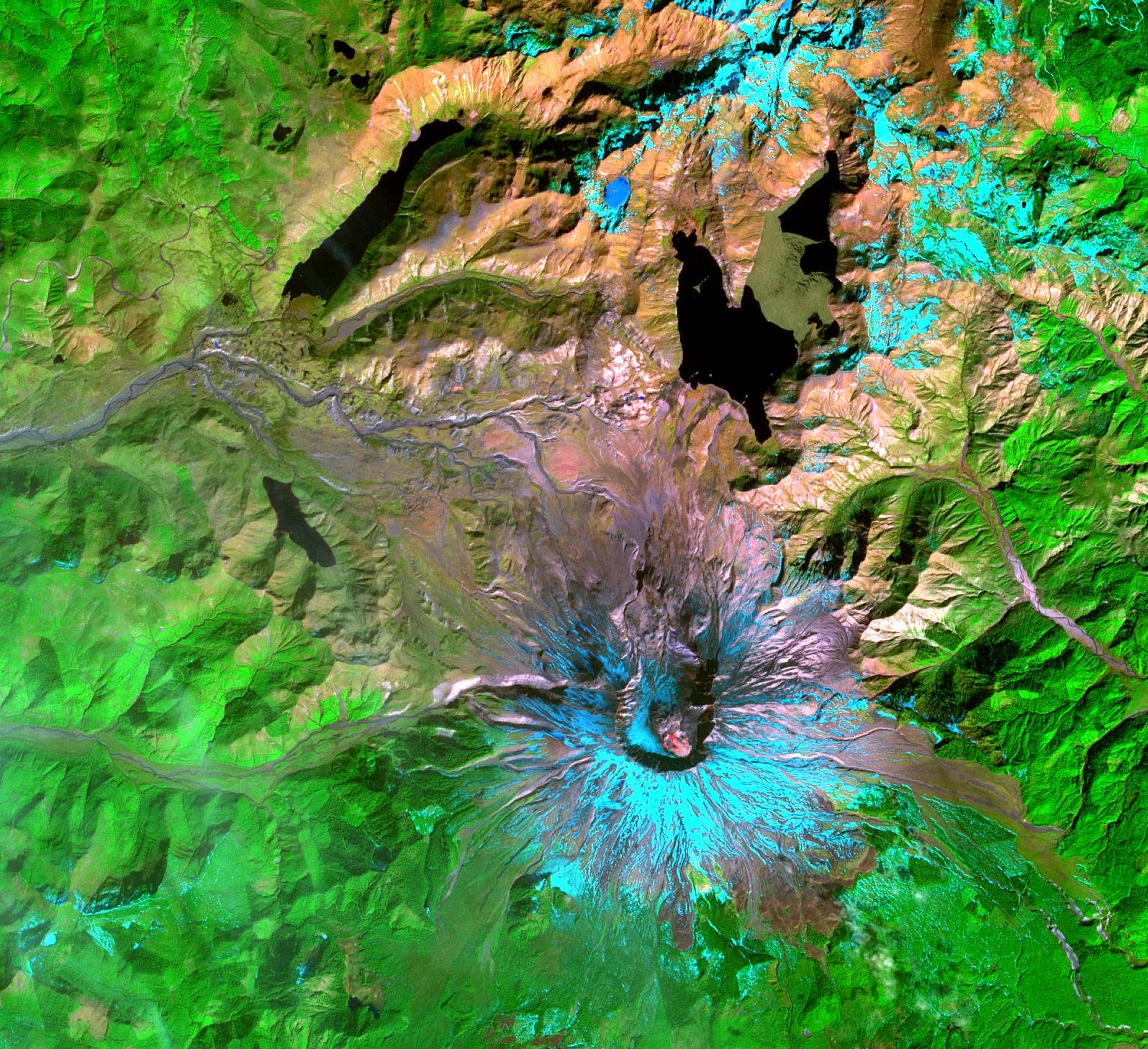
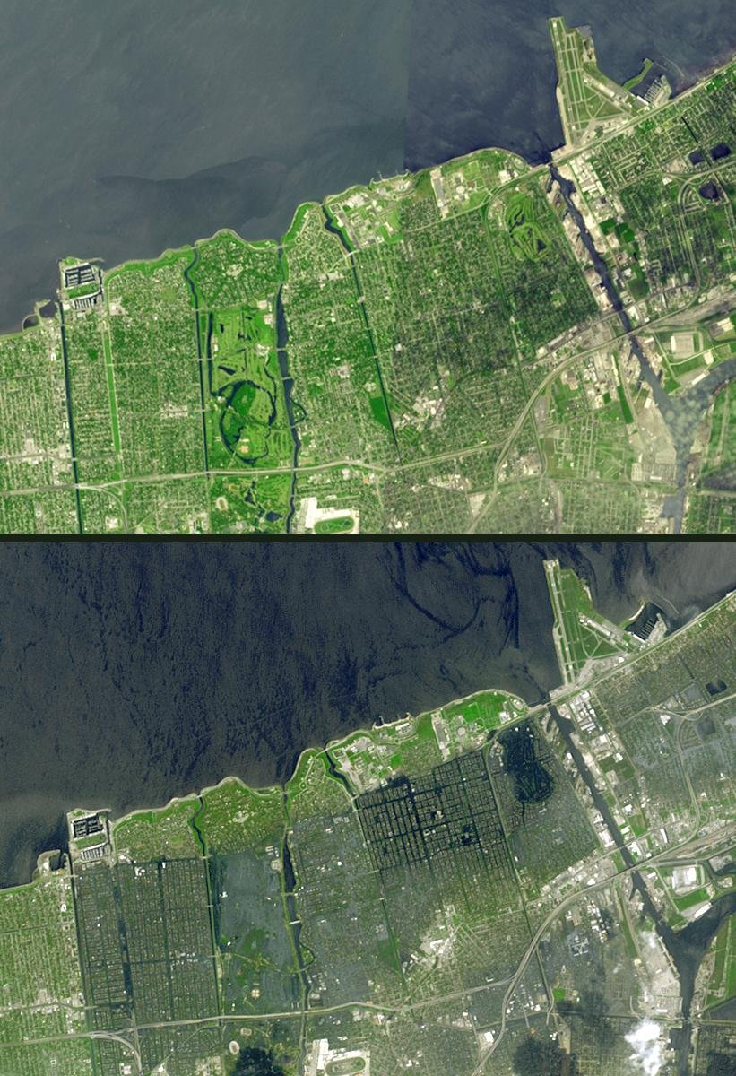
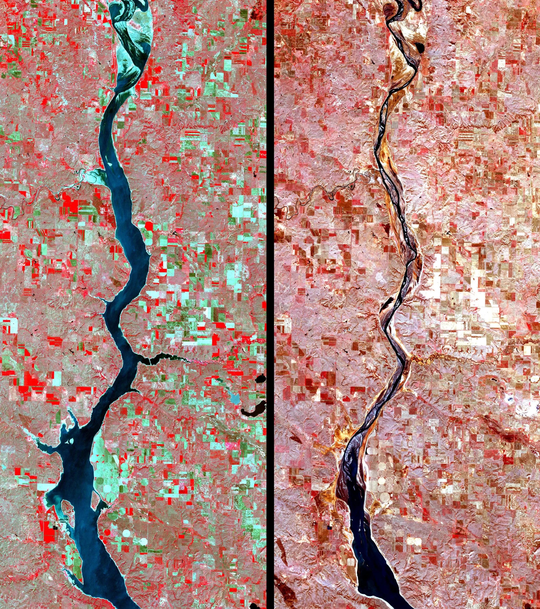
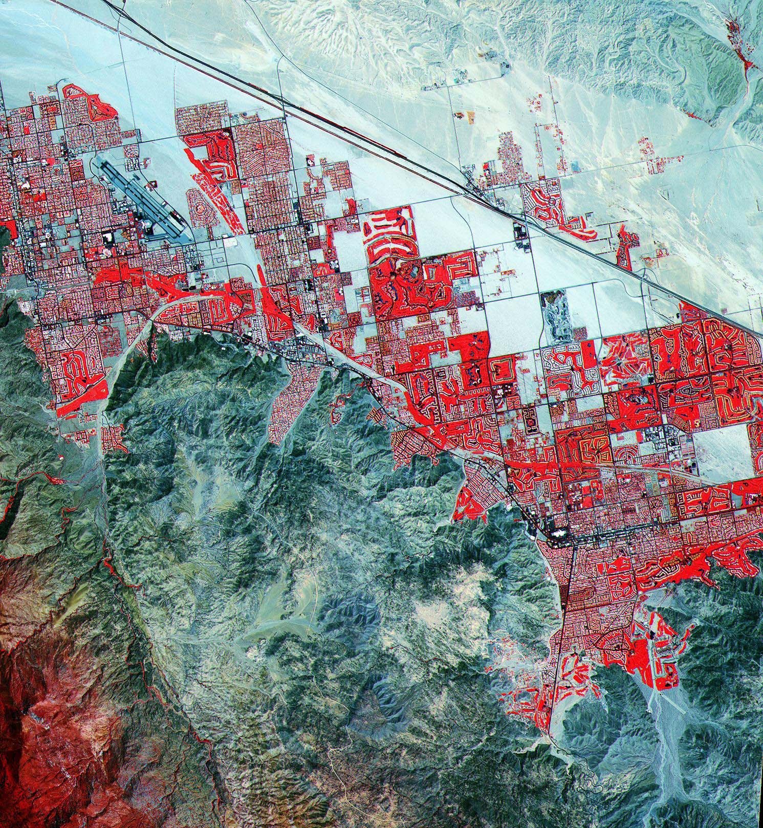
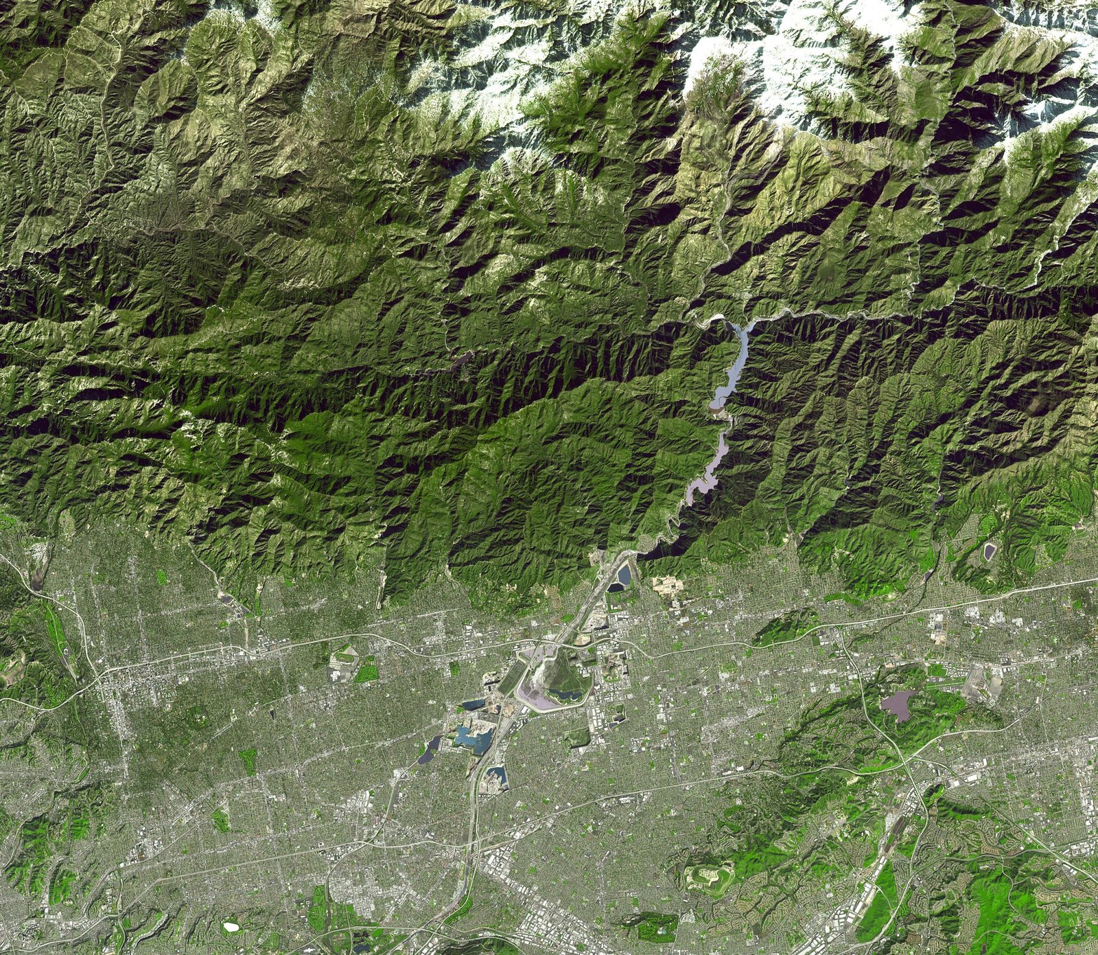
Sample Images
ASTER Satellite Image Gallery
* Click on thumbnail to view in full resolution.
For more information on any of our products and image processing services, please contact us for a complimentary consultation.
ASTER Satellite Sensor Specifications
Launch Date
18 December 1999 at Vandenberg Air Force Base, California, USA
Equator Crossing
10:30 AM (north to south)
Orbit
705 km altitude, sun synchronous
Orbit Inclination
98.3 degrees from the equator
Orbit Period
98.88 minutes
Grounding Track Repeat Cycle
16 days
Resolution
15 to 90 meters
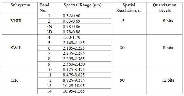
The ASTER instrument consists of three separate instrument subsystems:
VNIR (Visible Near Infrared), a backward looking telescope which is only used to acquire a stereo pair image
SWIR (ShortWave Infrared), a single fixed aspheric refracting telescope
TIR(Thermal Infrared)
ASTER has 14 bands of information. For more information, please see the following table:
Instrument
VNIR
SWIR
TIR
Bands
1-3
4-9
10-14
Spatial Resolution
15m
30m
90m
Swath Width
60km
60km
60km
Cross Track Pointing
± 318km (± 24 deg)
± 116km (± 8.55 deg)
± 116km (± 8.55 deg)
Quantisation (bits)
8
8
12


